Global Climate Geodesign Challenge: Northern Minnesota, An Indigenous Approach to Climate Action
Team: Shaam Adam, Thomas Fisher, Joseph Hang, Julie Zhu, Leilei Duan, Pete Wiringa
Program: Minnesota Design Center
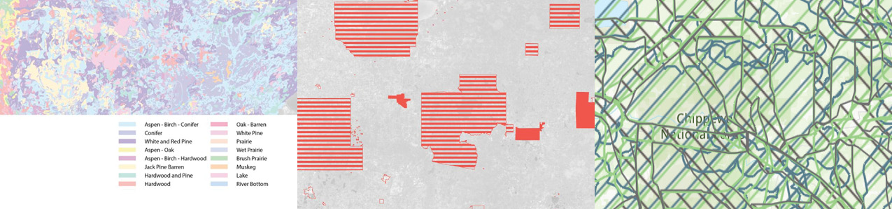
The University of Minnesota's contribution to the Global Climate Geodesign Challenge involved a study of an area roughly 400 miles east/west and 175 miles north/south, stretching from the Red River to Duluth. Our goal was to maximize the carbon-sequestration capacity of that area. To achieve that goal, we began with a thought experiment: What if the original French idea of settling North America by respecting indigenous rights to the land had prevailed, and the continent had remained under native control, with white settlements having a very small physical footprint in trading outposts? With that in mind, we envisioned our study area returning to a pre-settlement condition, with its mixture of four biomes: prairie grassland, deciduous and coniferous forests, and tall-grass aspen parkland.
We also envisioned a shift to intensive hydroponic, aquaponic, and aeroponic agriculture, renewable energy generation, and on-demand additive manufacturing, which would reduce the land necessary for human settlement by over 90%. That would enable a return the rest of the land to carbon-sequestering native land cover, with a few, dense cities, linked by existing rail lines and each capable of meeting their own food, energy, water, and manufacturing needs.
Keywords: Global climate change, Carbon sequestration, Indigenous landscapes,
Funders: This work was funded by a gift to the University of Minnesota from Esri.
")
")
")
")