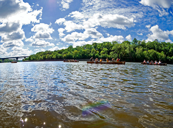
Below the Twin Cities' metro area lie forgotten streams, lakes, and wetlands that once flowed freely. Buried beneath the expanding cities, these waterways still serve as crucial water conduits and are of immense importance to the metro area's watershed, which is why the Center for Sustainable Building Research (CSBR) is determined to find them.
READ MORE
CSBR Director Richard Graves and Senior Researcher Richard Strong participated in a UMN Library sponsored research sprint to start uncovering our lost waterways. "Development's been the major issue. People like to be near streams and then they turn them into sewers and then they cover them up," said Strong. Teaming up with Ryan Mattke, head of the University's John R. Borchert Map Library, and the GIS department Graves and Strong are using historical mapping and geo-positioning to begin the search. Together Mattke, Graves, and Strong referenced original land survey maps from the 1840s and 1850s to locate where old waterways once were.
They then used GIS technology to map the old waterways and overlay them on top of current maps of the Twin Cities. While there is still a lot of work to be done, Graves and Strong see finding our cities' lost waterways as the first step in reconnecting our community with the hydrology of our metro area. "I think it will be a great resource to start creating new development patterns that can address our water needs," concluded Graves.
CSBR Lead / Co-leaders:
Richard Graves
Richard Strong
Publications/Related Links:
Searching for Lost Waters
